Mammoth Lakes in Winter: A Field Guide to the Eastern Sierra

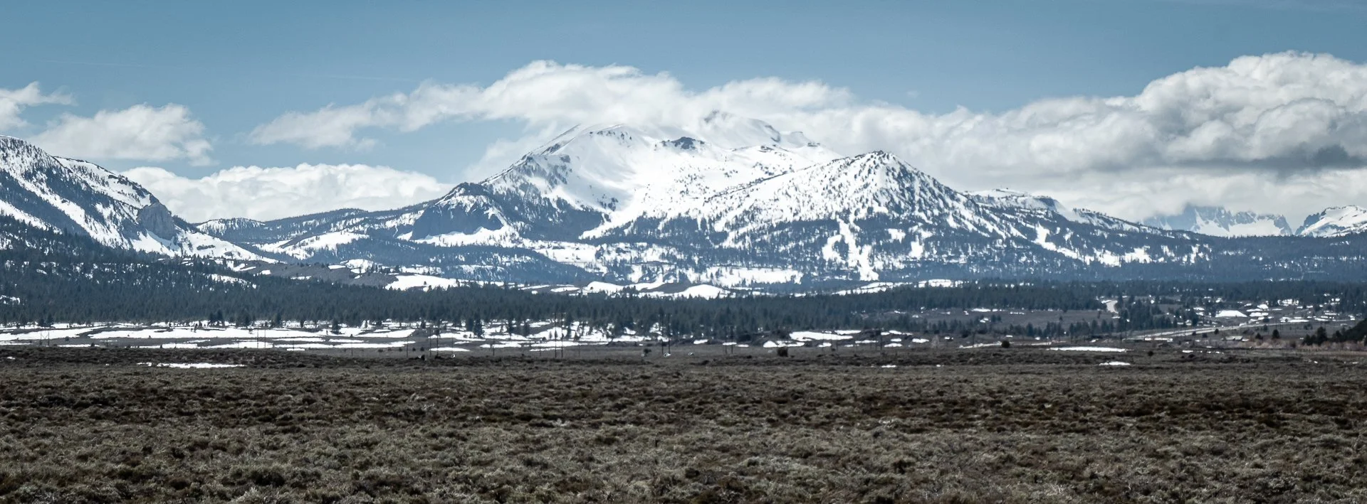
Photo: mjhbower / Wikimedia Commons · CC BY-SA 2.
There is a point on Highway 395 when Mammoth starts to feel close. The Sierra has been running alongside the highway for miles, but somewhere north of Bishop the scale shifts. The mountains feel nearer. In winter, snow begins filling the high country ahead, and Mammoth Mountain eventually appears across the valley.
For generations of California skiers and snowboarders, that drive has been part of the ritual.
Mammoth Lakes sits at nearly 8,000 feet on the eastern side of the Sierra Nevada, with Mammoth Mountain rising above town to 11,053 feet. Winter life here revolves around the mountain, and for good reason. Mammoth is one of California's great ski destinations, with a season that can stretch well into spring and, in exceptional snow years, beyond it.
But a winter trip doesn't have to begin and end at the lifts.
The same snow that covers Mammoth Mountain transforms the Lakes Basin and the forests surrounding town, turning summer roads and trails into routes for snowshoes and Nordic skis. Down in the Owens Valley, moving water creates opportunities to fish while the high Sierra remains buried in snow. Highway 395 connects all of it, placing Mammoth within a much larger Eastern Sierra landscape.
This field guide is meant to help you put those pieces together—whether you're coming primarily to ski, bringing someone who doesn't, looking for something to do away from the mountain, or beginning to explore more of the Eastern Sierra in winter.
Mammoth Lakes in Winter: At a Glance
| Best known for | Skiing and snowboarding |
|---|---|
| Elevation | Mammoth Lakes: about 7,900 ft.; Mammoth Mountain summit: 11,053 ft. |
| Winter season | Typically November into spring, depending on snow conditions |
| Getting there | Highway 395 to Highway 203 |
| Getting around | Free winter transit serves much of town and the ski area |
| Beyond the mountain | Snowshoeing, Nordic skiing, winter fishing and Eastern Sierra exploring |
| Before you drive | Check weather, Caltrans road conditions and chain controls |
Getting Oriented: Mammoth Mountain, The Village and Town
Mammoth makes considerably more sense once you understand that there isn't a single place where everyone starts the day.
Mammoth Mountain has three primary base areas: Main Lodge, Canyon Lodge and Eagle Lodge. The Village at Mammoth is another major hub, but it isn't a ski lodge in the same sense. A gondola connects The Village directly to Canyon Lodge during winter operations.
Where you stay—and which part of the mountain you want to reach—can make a noticeable difference to the rhythm of a trip.
Main Lodge
Main Lodge sits higher on the mountain, several miles beyond The Village near the end of Highway 203. It's home to the Panorama Gondola and provides direct access toward Mammoth's upper mountain.
If your mental picture of a ski day involves getting up early and spending most of the day on the mountain, Main can be an appealing place to start. Its location also means it feels somewhat removed from the town itself.
Canyon Lodge
Canyon is much closer to the center of Mammoth Lakes and is connected directly to The Village by gondola.
That connection makes Canyon particularly convenient for people staying around The Village. Instead of loading skis into a car and driving to a base lodge, you can walk to the gondola and arrive at Canyon ready to ski.
Canyon also has a stronger relationship with Mammoth's après-ski scene. When the lifts begin shutting down, the transition from skiing to whatever comes next can happen quickly here.
Eagle Lodge
Eagle sits lower on the mountain on the eastern side of town, near Juniper Springs and a large concentration of condos and vacation rentals.
For visitors staying nearby, its convenience can outweigh the instinct to automatically head for Main or Canyon every morning. Eagle provides access into the larger lift system without requiring a drive across town first.
The Village
The Village is where some first-time visitors get confused.
It looks and functions like a base area in many respects—lodging, restaurants, shops, equipment rentals and the gondola are all here—but you don't walk out of The Village and onto a ski lift. The Village Gondola carries skiers and snowboarders up to Canyon Lodge.
It's also one of the places where the mountain and town overlap most visibly. In the morning, people are walking through in ski boots. By late afternoon, those same spaces are filling with people coming off the mountain looking for food and a drink.
The Rest of Mammoth Lakes
Mammoth extends well beyond The Village.
Main Street runs through the center of town along Highway 203. Old Mammoth sits farther south. Residential neighborhoods, restaurants, shops and lodging are spread between them, while Lake Mary Road heads southwest toward the Mammoth Lakes Basin.
In summer, that road leads to a string of mountain lakes and trailheads. In winter, snow eventually closes the upper road to normal vehicle traffic and the Lakes Basin becomes a very different place.
As somebody who’s been making the drive to Mammoth for more than 35 years, where I stay has changed a lot. When I was younger, price usually decided it. Now that I’m often traveling with family or friends, location and convenience matter more.
There isn’t one part of Mammoth that works best for everyone. If you’re staying on the outskirts of town, it’s perfectly workable to rent a condo or vacation rental and have someone drop the group at one of the main base areas. Staying closer to the center of town can be just as easy, especially if you use Mammoth’s bus system. Coming from Los Angeles, I think the transit here works considerably better than many first-time visitors expect.
Skiing and Snowboarding Mammoth Mountain
For all the other ways to spend a winter day here, Mammoth is a ski town.
Mammoth Mountain rises more than 3,000 vertical feet above its base areas and reaches 11,053 feet at the summit. Its elevation and position along the eastern Sierra give it a reputation for substantial snowfall and a season that often extends later than many California ski areas.
The size of the mountain also means that two people can have very different Mammoth experiences.
Beginners can spend much of a day on lower terrain around the lodges. Intermediate skiers and snowboarders can move across a huge portion of the mountain. When conditions cooperate, the upper mountain opens terrain that has defined Mammoth for generations of California skiers.
You don't need to understand every lift before arriving.
For a first trip, it's more useful to understand where you're starting, what terrain is currently open, and how weather is affecting mountain operations. Mammoth Mountain publishes current lift status, trail information, weather and grooming reports, and those should be checked before heading out each morning.
Choosing Where to Start
Where you stay can make the decision fairly easy. If you’re near The Village, the gondola makes Canyon a natural starting point, while Eagle can be much more convenient if you’re staying around Juniper Springs or on the eastern side of town. Main Lodge sits higher on the mountain and provides direct access to the Panorama Gondola and upper-mountain terrain when conditions allow.
You also don’t need to commit to the same base area every day. Once the lifts are running, Mammoth’s network makes it relatively easy to move across large portions of the mountain. Weather is often the bigger variable. Wind, heavy snowfall and poor visibility can affect lift operations—particularly higher up—and a blue-sky day and a storm day can make Mammoth feel like two very different ski areas.
Remember the Elevation
Mammoth Lakes sits around 7,900 feet, with the summit rising above 11,000. If you’re arriving from Los Angeles, the Bay Area or somewhere else near sea level, you may feel the elevation before you’ve taken your first run. Staying hydrated, getting enough sleep and allowing yourself some time to adjust can make the first day considerably more comfortable.
The altitude also makes sun exposure easy to underestimate. Even on a cold day, the combination of high-elevation sun and light reflecting off the snow can catch you by surprise, so sunscreen is worth treating as part of your ski gear rather than something reserved for warmer weather.
You May Not Need to Drive
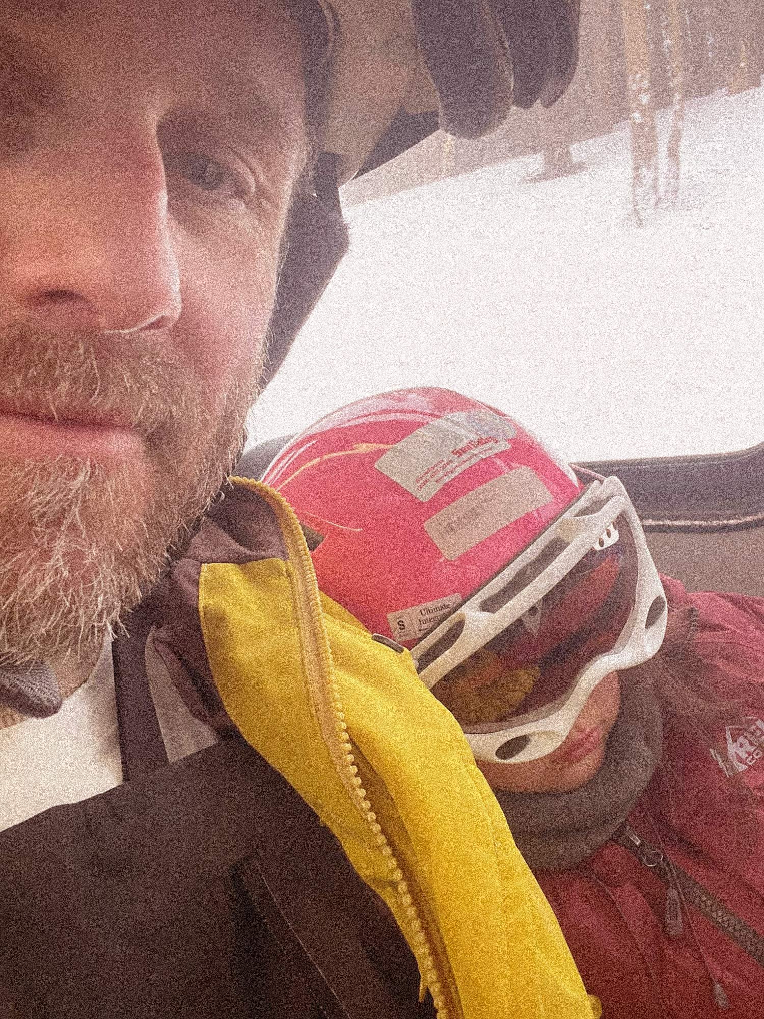
One Mammoth habit worth breaking is automatically getting into the car every morning. The town has an extensive free transit system, with winter routes connecting many neighborhoods and lodging areas to the mountain, The Village, Main Street and other parts of town. That makes the bus useful for more than getting to the lifts—you can also use it for dinner, shopping or simply getting around without having to drive. On busy weekends and holidays, the bus can also save you from dealing with traffic and searching for parking near the lifts.
Even on lighter days, I generally prefer transit. You can certainly drive up the mountain and park near the base areas, but Mammoth is a huge resort that draws equally large crowds. After a long day of skiing, I’d much rather grab the bus than walk back to the car, load everything up and drive to wherever I’m staying.
There is another option if you’re traveling with a particularly generous friend who isn’t planning to ski: drop-off. Depending on where you’re staying and which base you’re starting from, having someone drop the group at the mountain can be one of the simplest ways to start the day.
When You're Not Skiing
A day in Mammoth doesn’t always mean spending every available hour on the mountain. You might call it early after a long morning, run into weather or wind holds, or be traveling with someone who never planned on skiing in the first place. Fortunately, there are plenty of ways to spend the rest of a winter day without going far.
The Village is an easy place to start for food and drinks after skiing, with more restaurants and businesses spread along Main Street and through Old Mammoth. Snow play, tubing and ice skating offer some of the more familiar ski-town alternatives, but getting away from the lifts can also be an opportunity to explore a different side of Mammoth.
Groomed winter trails wind through the forest around Shady Rest, while snowshoes and Nordic skis provide access farther into the Mammoth Lakes Basin once snow closes the upper portion of Lake Mary Road to vehicles. Head down toward the Owens Valley and the change in elevation opens up another possibility altogether: spending part of a winter day fishing the Owens or Hot Creek.
Beyond the Lifts: Snowshoeing and Nordic Skiing
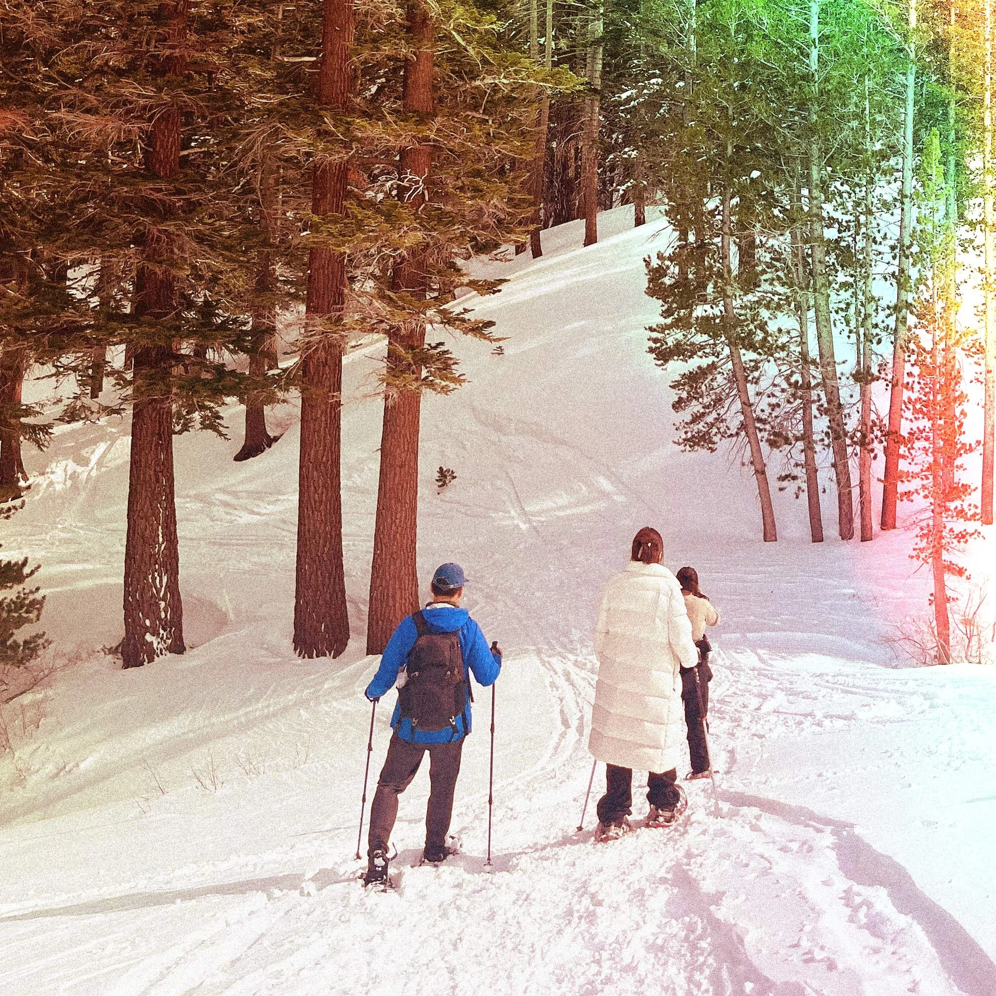
Mammoth has an established network of winter trails that makes it relatively easy to explore beyond the ski area. Snowshoeing and Nordic skiing can get you into the surrounding forest and Lakes Basin without requiring the experience or commitment of a backcountry trip.
For anyone accustomed to seeing Mammoth primarily from a chairlift, these trails offer a different way to experience the same landscape.
Shady Rest
Near the entrance to Mammoth Lakes, Shady Rest is one of the easiest places to start. Its groomed winter trail system is open to non-motorized recreation, including Nordic skiing, snowshoeing, walking and fat biking.
There's no lift ticket involved and no need to devote an entire day to it. That makes Shady Rest particularly approachable if you're trying snowshoes for the first time, looking for a shorter outing, or simply want to spend a few hours outside away from the mountain.
Mammoth Lakes Basin
The Lakes Basin offers a more dramatic change of scenery. During the warmer months, Lake Mary Road carries cars past Twin Lakes toward Lake Mary, Lake Mamie and Horseshoe Lake. Once enough snow falls, the upper road closes to normal vehicle traffic and becomes part of Mammoth's winter trail network.
Nordic skiers and snowshoers can follow the corridor into the basin, with public winter access running alongside the groomed Tamarack Nordic trail system. The Winter Access Corridor extends roughly 2.5 miles toward Horseshoe Lake, providing an established route into an area that feels considerably different once the summer traffic and cars are gone.
It's an approachable way to get farther into Mammoth's winter landscape, but conditions still deserve attention. Recent snowfall and storms can change trail conditions quickly, so check current information before heading out and bring clothing and equipment appropriate for winter travel.
Winter Fishing Around Mammoth
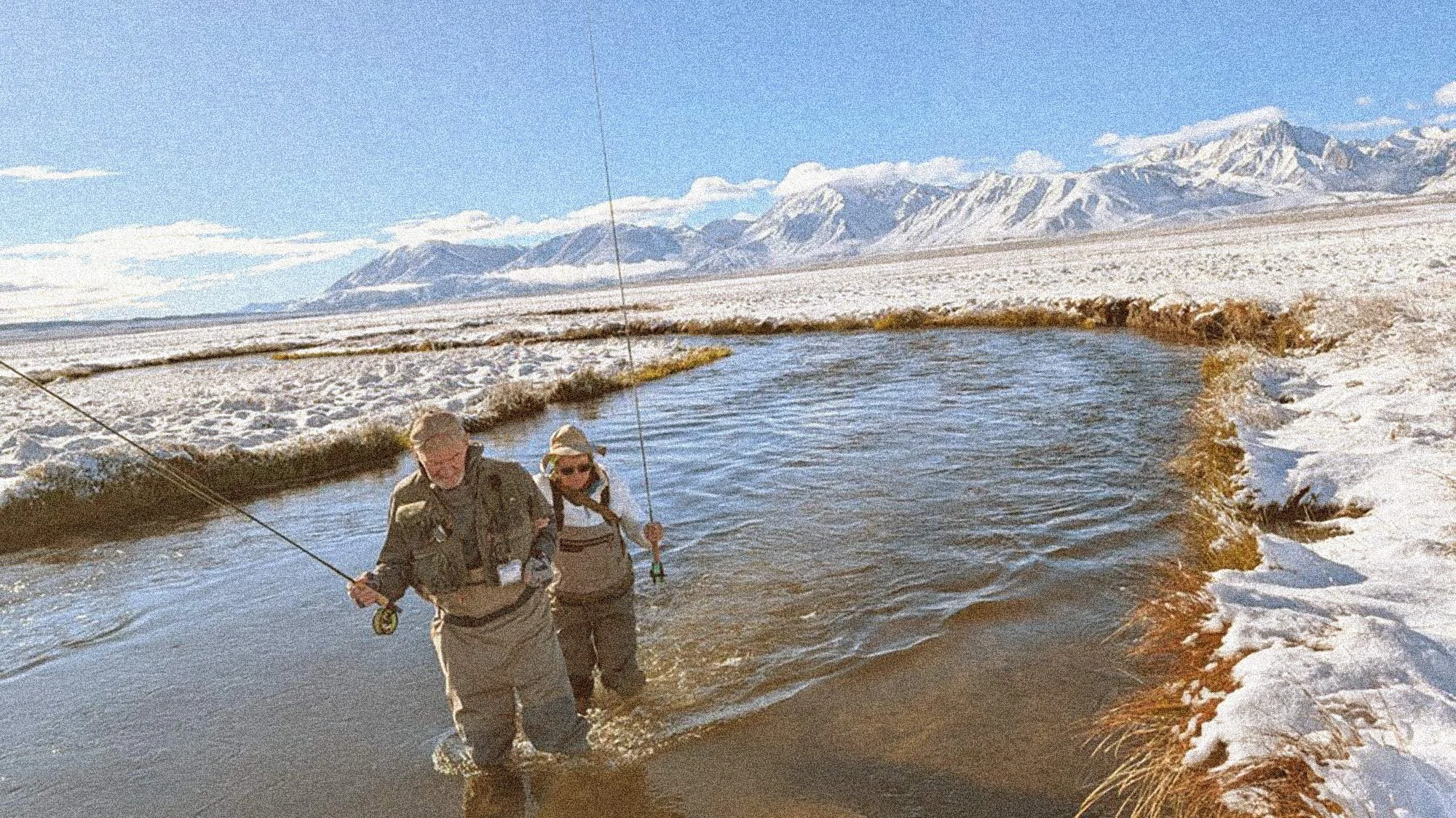
Photo courtesy of STM Fly Shop in Bishop, CA
Fishing can be an unexpected addition to a Mammoth winter trip, particularly if you're accustomed to spending most of your time on the mountain. The change in elevation between Mammoth and the Owens Valley means conditions below can look surprisingly different from what you left behind at the ski area, opening up opportunities to trade skis or a snowboard for a fly rod.
The Upper Owens River and Hot Creek are two of the better-known winter fishing options near Mammoth, while sections of the Lower Owens farther south can offer additional opportunities. Regulations vary by water and section, however, so always check current California Department of Fish and Wildlife regulations before fishing. Seasonal rules may affect tackle, fishing methods and whether fish can be kept.
Conditions matter just as much as regulations. Weather, water temperature and river flow can all influence fishing, and experienced Owens River anglers often pay close attention to current flow rates when deciding where and when to go.
I’ve only recently started fishing this part of the Eastern Sierra, including stretches of the Lower Owens, and was fortunate enough to spend a day on the water with a guide who recommended coming back in winter. It can be a completely different experience that time of year, so dress accordingly. If you’re looking for a guide in the area, I highly recommend STM Fly Shop & Guide Service in Bishop. They are a pleasure to fish with.
Looking Beyond the Groomed Trails
Beyond Mammoth’s maintained winter trail system, the Eastern Sierra opens into a much larger backcountry with a long history of ski touring and, more recently, splitboarding. Exploring that terrain requires a different set of skills and responsibilities than skiing within the resort, particularly when it comes to avalanche awareness, route selection and changing snow conditions.
If you’re interested in making that transition, education is the right place to start. The Eastern Sierra Avalanche Center publishes regional avalanche forecasts and educational information, while formal avalanche courses and professional guides can help build the skills needed to travel more safely in the backcountry. They’re a much better introduction than choosing a route online and heading out without the appropriate training or equipment.
Getting to Mammoth in Winter
For most California visitors, getting to Mammoth means spending some time on Highway 395. From Southern California, the highway runs north through the Owens Valley with the Sierra rising sharply to the west. Bishop is the last major town before Mammoth, and about 40 miles farther north, Highway 203 leaves 395 and begins the climb into Mammoth Lakes.
If you've never made the drive before, stop at Erick Schat's Bakkery in Bishop—but be prepared for a line. It's hardly a secret.
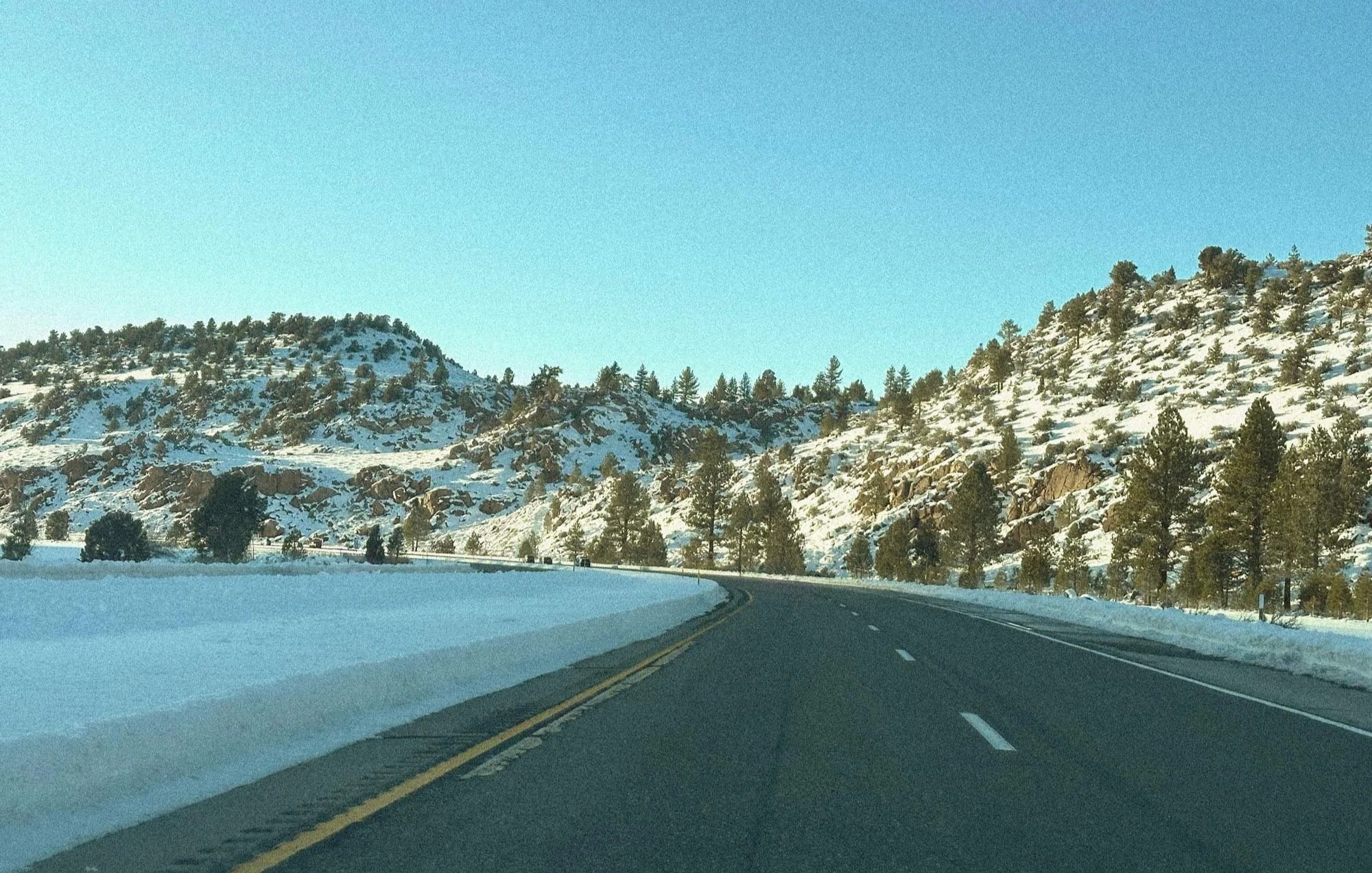
In clear weather, the drive is straightforward and exceptionally scenic. Winter storms are another matter, and conditions can change considerably between the Owens Valley and Mammoth as you gain elevation.
No matter the season, that final stretch north from Bishop is one I love driving. Well, almost always—a big winter storm can turn it into a slow and painful trip—but it's a beautiful stretch of Highway 395.
Check the Road Before You Leave
Before heading north during winter, check Caltrans road conditions and chain controls, particularly if there's weather in the forecast. Conditions can continue to change while you're on the road, so it's worth checking again during longer stops along the way.
Carry chains or the appropriate traction devices even if you have four-wheel or all-wheel drive, and know how to install them before you need them. The side of Highway 395 during a snowstorm is a terrible place to figure it out for the first time.
Mapping apps are useful for navigation, but they shouldn't replace current road information during a storm. Be especially cautious when an app suggests an unfamiliar mountain or desert road as a shortcut around a closure. Highway 395 also passes through long stretches with relatively few services, so keeping warm clothing, water and enough fuel for an unexpected delay is sensible winter preparation.
Once You Arrive
Getting to Mammoth may require a car, but using one for every trip around town doesn't. Free local transit connects much of Mammoth Lakes with the mountain, while The Village Gondola provides direct access between The Village and Canyon Lodge during operations. Check the current winter transit schedule when you arrive; depending on where you're staying, the car may spend much of the trip parked.
Mammoth and the Larger Eastern Sierra
Mammoth may be the destination, but Highway 395 puts it in the middle of one of California’s most distinctive landscapes. Head north and you’ll reach June Lake, Mono Lake and Lee Vining. To the south, 395 passes Crowley Lake and Bishop before continuing through the Owens Valley toward Independence and Lone Pine. Along the way, the Owens River winds through the valley with the eastern face of the Sierra rising abruptly to the west.
It’s easy to overlook all of this on a weekend built around skiing. I should know—that’s what happened to me. Spend enough time in Mammoth, though, and reasons to explore beyond the mountain tend to accumulate. You might head down to the Owens to fish, drive north to June Lake, make a stop somewhere along 395 that eventually becomes part of the routine, or give yourself enough time on the drive home to see something you've passed a dozen times before.
Sometimes it’s stopping for BBQ in Big Pine. Sometimes it’s finally scraping up the courage to tackle Mt. Whitney. The more I've slowed down and explored the places surrounding Mammoth, the more the drive itself has become part of why I keep coming back.
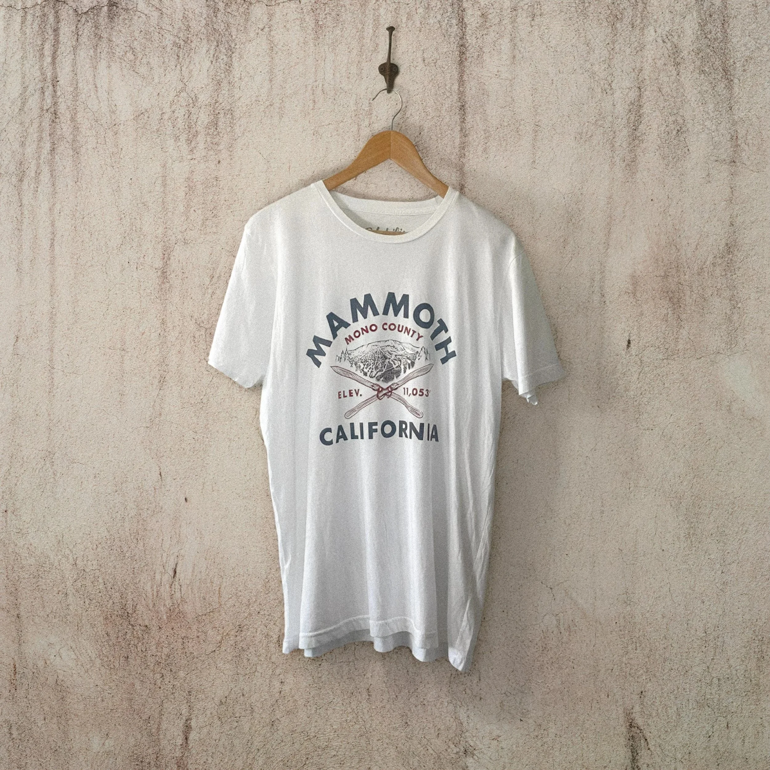
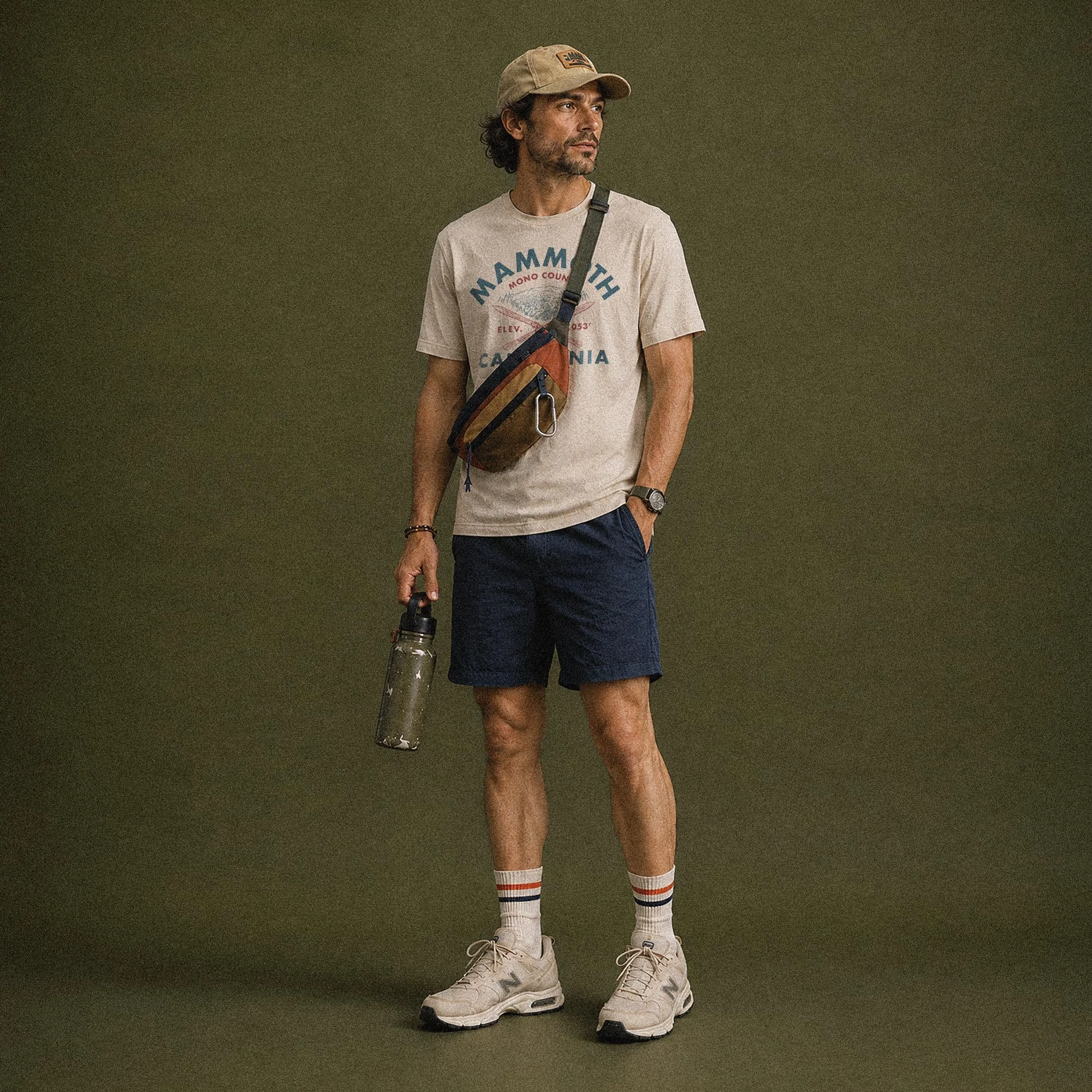
Mammoth Mountain Tee — Habilis Supply Co.